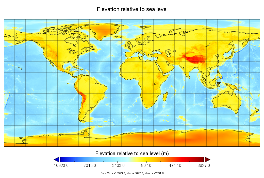
GEBCO 2022 Using Panoply
GEBCO 2022 Grid - With ice surface elevation
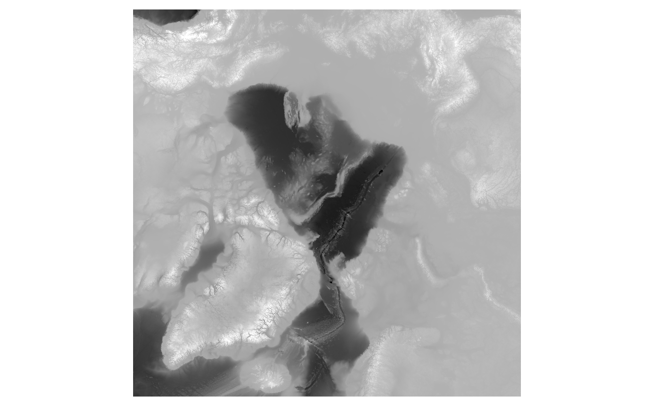
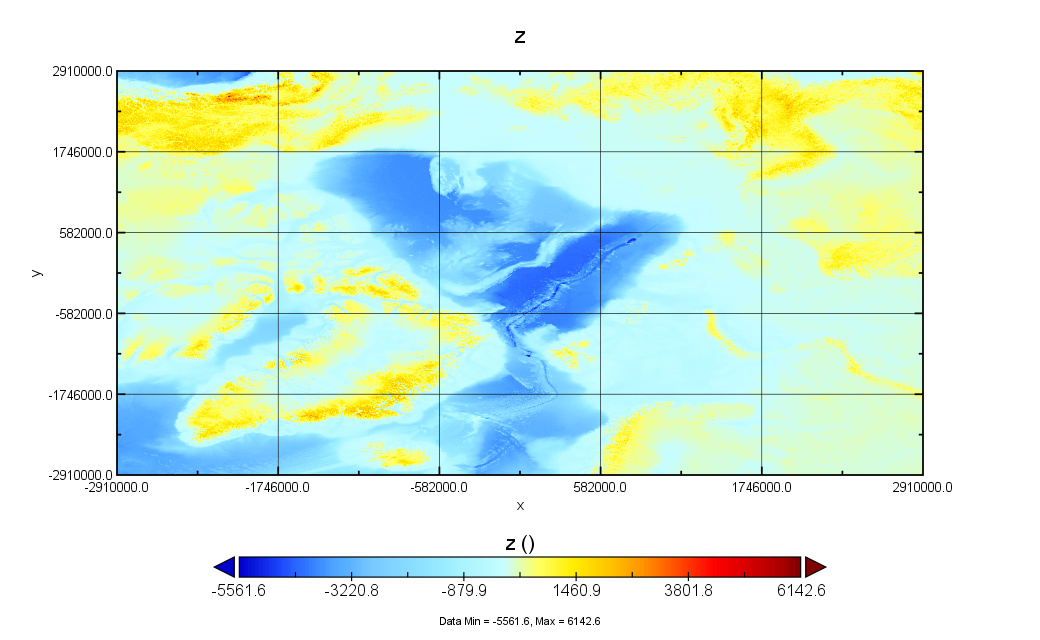
International Bathymetric Chart of the Arctic Ocean (IBCAO) V4.1
Panoply netCDF, HDF and GRIB Data Viewer | NASA Goddard Institute for Space Studies (GISS)
GEBCO 2022 Grid - With ice surface elevation
4.0G gebco_2022.zip
7.0G GEBCO_2022.nc
International Bathymetric Chart of the Arctic Ocean (IBCAO) V4.1
2.1G IBCAO_v4_1_200m.nc
Using QGIS: