HydroSHEDS
HydroLAKES aims to provide the shoreline polygons of all global lakes with a surface area of at least 10 ha. HydroLAKES has been developed using a suite of auxiliary data sources of lake polygons and gridded lake surface areas. All lakes are co-registered to the global river network of the HydroSHEDS database via their lake pour points. The global coverage of HydroLAKES encompasses 1.4 million individual lakes or reservoirs representing a total surface area of 2.67 million km², a total shoreline length of 7.2 million km, and a total storage volume of 181,900 km³. HydroLAKES only includes a limited amount of (mostly geometric) attribute information, such as surface area, shoreline length, and estimates of average depth, water volume and residence time. Every lake is also co-registered to a river reach of the HydroRIVERS dataset and a sub-basin of the HydroBASINS database (via shared IDs).
HydroLAKES_polys_v10.shp
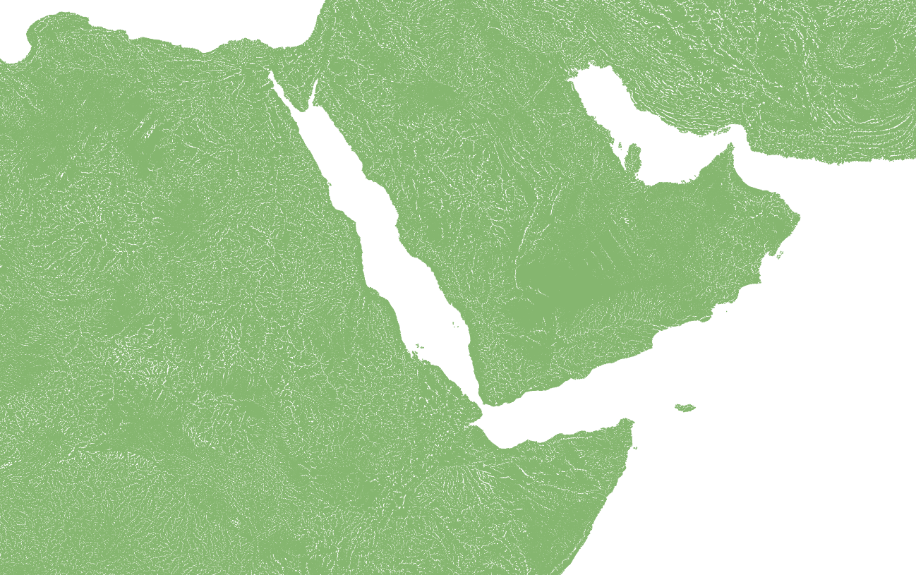
HydroRIVERS represents a vectorized line network of all global rivers that have a catchment area of at least 10 km² or an average river flow of at least 0.1 m³/sec, or both. HydroRIVERS has been extracted from the gridded HydroSHEDS core layers at 15 arc-second resolution. The global coverage of HydroRIVERS encompasses 8.5 million individual river reaches with an average length of 4.2 km, representing a total of 35.9 million km of rivers globally. HydroRIVERS only includes a limited amount of (mostly geometric) attribute information, such as the river reach length, the distance from upstream headwaters and ocean outlet, the river order, and an estimate of long-term average discharge. Every river reach is also co-registered to the sub-basin of the HydroBASINS database in which it resides (via a shared ID).
HydroRIVERS_v10.gdb