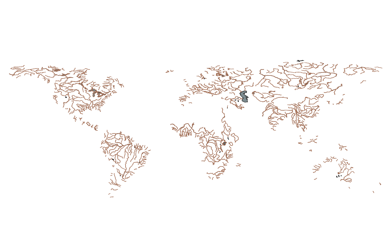
River and Groundwater Basins of the World (WHYMAP RGWB)
The World-wide Hydrogeological Mapping and Assessment Programme (WHYMAP) provides data and information about the earth´s major groundwater resources. The River and Groundwater Basins Map shows the areal extent of the global groundwater and surface water basins.
whymap_rivers__v1_line.shp and whymap_waterbodies__v1_poly.shp
The rivers layer can be downloaded from: